How can cutting edge technology help support Peace & Justice? We spoke to Space4Good to find out
By Thomas Ansell
From supporting biodiversity and tracking illegal logging, to detecting latrines and predicting flood damage, there’s a lot you can do using ‘eyes in the sky’. Space4Good, the ground-breaking agency and Hub member organisation, is trying to find new ways to utilise satellite imagery, AI, and drones; analysing huge data sets to help solve humanitarian and environmental problems across the world.
In this two-part series, we’re looking through the eyes of Space4Good to show how sky-high technology is working towards a more peaceful and just world. This first article will focus on projects that have used innovative tech to approach humanitarian, and peace and justice-related questions.
Tracking latrines to support health in Uganda
Let’s begin with something common to all people. Space4Good has been working with Amref and several East/Central African countries to track the building of latrines in rural areas. The project utilised both geographic databases (GIS) and a network of public-good satellites and sensors (GEOSS) to create a ‘heat map’ of toilet development: getting around the problem of not being able to spot newly-built latrines due to tree cover, and the variety of building types that can house a new loo.
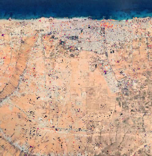
Utilising satellite imagery and AI to help post-conflict recovery in Syria
Following a decade of war in Syria, often in urban areas, Space4Good has worked with the Carter Centre to help with rebuilding the country. A combination of satellite imagery, along with optical AI, was used to help map out destruction from bombardment and damage to urban areas. It also was able to predict where unexploded ordinance (UXO) and mines were likely to lay beneath the debris. This meant that UXO extraction and rebuilding efforts could be better directed, as well as to ensure the safety of people on the ground and those living in post-conflict areas.
Locating minefields in Libya
In 2019, Space4Good’s technology was used to detect minefields in Libya, following several offensives in the Libyan civil war. The project was focused on Sirte, and was completed in collaboration with The Halo Trust for the removal of mines and minefields. Unfortunately, due to the continuing war in Libya, the research (which resulted in accurate ‘heat maps’ of mined areas) was unable to be utilised by people on the ground. Space4Good is still seeking opportunities to utilise this technology with implementation partners.
The future of using technology for Peace and Justice
Jessica Immelman, Business Lead at Space4Good, says: “we’re in the privileged position to support leading organizations at the frontier of social and environmental justice efforts. There are so many ways that technology can help to solve complex problems in post-conflict situations, but also in preventing conflicts and making sure that societies can restore and preserve essential ecosystems and resources. We look forward to working further in this field. As a B Corp social enterprise working very often with NGOs and governmental entities, we’re always looking for ways to contribute to more peaceful and just societies.”
Part two of our dive into the world of Space4Good will be available soon!
Z


")

