- This event has passed.
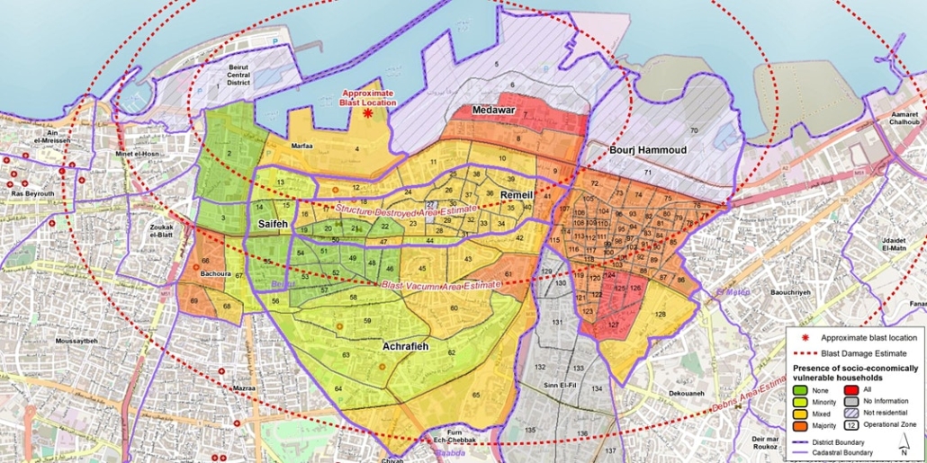
Cities, humanitarianism and using geospatial analysis to mitigate risk

27 October, 2020 @ 5:00 pm
A one-hour discussion of how the use of collaborative networks and advances in geospatial technology can improve humanitarian outcomes
Following on from the successful Secondary Cities Symposium series, this follow-up online event, in conjunction with international humanitarian mapping NGO MapAction, looks at collaborative approaches to addressing global humanitarian issues.
Members of the MapAction team will share insights gleaned from their work in:
- Urban resilience
- Emergency preparedness and response
- Technical innovations such as automated mapping
- Building, supporting and mobilizing civil society networks
This will be followed by a guided discussion reflecting on how we can jointly support our shared objectives.
About MapAction
MapAction collaborates with humanitarian agencies, governments and civil society organisations around the world to make better humanitarian outcomes possible. It does this by providing and helping them to develop and apply geospatial resources and expertise to prevent, prepare for and respond to humanitarian crises.
Having attended over 100 different emergencies and supported countless more, MapAction has developed a unique capacity to apply geospatial insight to assist humanitarian decision-making.
Hosted by:
- Melinda Laituri, Professor, Ecosystem Science and Sustainability & Director, Geospatial Centroid at CSU
Speakers
- Liz Hughes, Chief Executive, MapAction – leading MapAction since 2013, over the past 25 years Liz has also directed humanitarian operations at the Red Cross, Save the Children and Oxfam and worked with many more agencies, NGOs and donors as a consultant.
- Chris Ewing, MapAction Trustee and Volunteer – a keen physical geographer with over 10 years’ experience in the (re)insurance and engineering sectors, Chris helps organisations better quantify natural catastrophe risk. He has volunteered with MapAction since 2007.
- Alan Mills, MapAction Consultant and Volunteer – a volunteer since 2005 and former trustee, Alan also leads on building data preparedness partnerships. He has his own consultancy business specializing in GIS and remote sensing in international development and has 30 years experience in operations.


